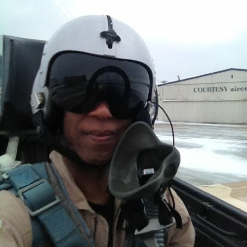
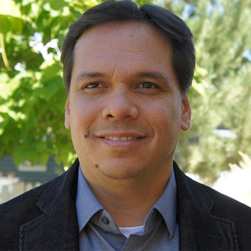
We are not your ordinary startup working on mapping technologies. Collectively, the SaraGEO team has spent the bulk of our careers working with, thinking about, and solving challenging problems around maps. We’ve built GIS systems for the US Government, location-based on-demand workforce apps, as well as aerial drone technologies. While maps and mapping software are regularly used in enterprise and military applications, we believe everyone should have the opportunity to create their own custom, collaborative maps.

Coming out of beta in mid-2015 with a few thousand users and maps, our mission has evolved. We not only want to democratize the map creation process, but we want to completely transform the way people create, collaborate, and consume map data. Whether you’re behind a computer at a desk, or on the road with a mobile device, we believe you should have access to your maps anywhere, anytime. It’s our mission to help people better understand their world by mapping it.

SaraGEO is based in San Francisco, CA.
0

Maps Created

0

Pins Created

0

Cups of Coffee

0

Countries

Why we did this

The SaraGEO team is comprised of designers, developers, geospatial nerds, and business people. Outside of SaraGEO, we are ADVENTURERS: We are weekend warriors, cyclists, pilots, gamers, and foodies. We have an insatiable thirst for exploring our world; and naturally, we see the world in maps.

When we first started out, we built a product to help us map our adventures: from favorite hipster coffee shops to cycling trails and even drone flight plans. Over time, we realized maps have become our personal canvas for expression, and in a very literal sense, continually change depending on our view of the world.

Maps are incredibly personal, and depending on their purpose, can even prevent infectious diseases or save lives. As any cartographer will tell you, people have always been at the core of map-making. Unfortunately, there has never been a great platform for ordinary people to make extraordinary maps.

We made it our mission to enable anyone with a computer or phone to quickly and easily create a personalized map to track + share the people, places, and things they care about most. With this mission, we believe we will change how people view their world and everything in it.

Our team

  • Sascha Mornell
    Sascha MornellCEO

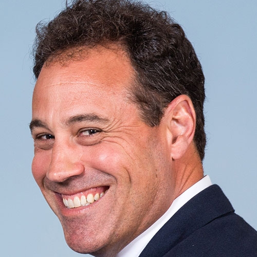
    Sascha is the Co-Founder and CEO of SaraGEO. He is also co-Founder of GetMyBoat and ZigAir, peer-to-peer travel marketplaces. In addition, he serves as Chairman (and co-founder) of Phacil, an award winning, $120M+ 600-employee IT services Federal Government Contractor based in Arlington, Virginia. Previously, he served as the SVP of Sales and Marketing at register.com, taking the company from start-up phase through an $800M IPO. Sascha is a graduate of Harvard Business School (MBA) and UC Berkeley (B.A. with Honors)

  • Raf Collado
      Raf ColladoCTO

      Raf is the Co-Founder and CTO of SaraGEO. He also co-founded GetMyBoat, ZigAir, and Phacil with Sascha Mornell. Raf has previously founded and sold three companies, including: Inabox, BERN Associates and Sigma Research. Raf also started Protocom Devices and led it through a successful IPO as CEO. Prior, Raf was an Associate Professor of Electrical Engineering at The Cooper Union Institute in New York, and he attended the Polytechnic Institute of Brooklyn where he majored in Electrical Engineering.

    • Dа‮еіn‬l B‮tеnrа‬t
        Dа‮еіn‬l B‮tеnrа‬tVP of Engineering

        Dan is the lead architect at SaraGEO. Previously, he served at Microsoft as a Development Manager and Product-Line Architect—releasing Microsoft Office Excel 12, 14, and PerformancePoint Server 2007 along with several products under the Microsoft Dynamics line. He has enjoyed enabling software projects with both small and large companies at Phacil, JobJob, Newdea, WebFamilies, Tokheim, Viacom, and others. He was educated at MIT.

      • Robin Sam
          Robin SamStaff Engineer

          Robin is SaraGEO‘s core geospatial developer. Robin has extensive experience with building web-based GIS solutions for data visualization and analysis. He was one of the primary developers for the DWI award winning Lighthouse Project, which brought NRCS GIS Data to the web in two easy to use web-based geospatial applications. Since then he has worked on a number of large-scale enterprise applications as both developer and architect, all of which have had several geospatial facets. Robin received a Bachelor of Science Degree in Computer Science from the University of Colorado at Boulder.